
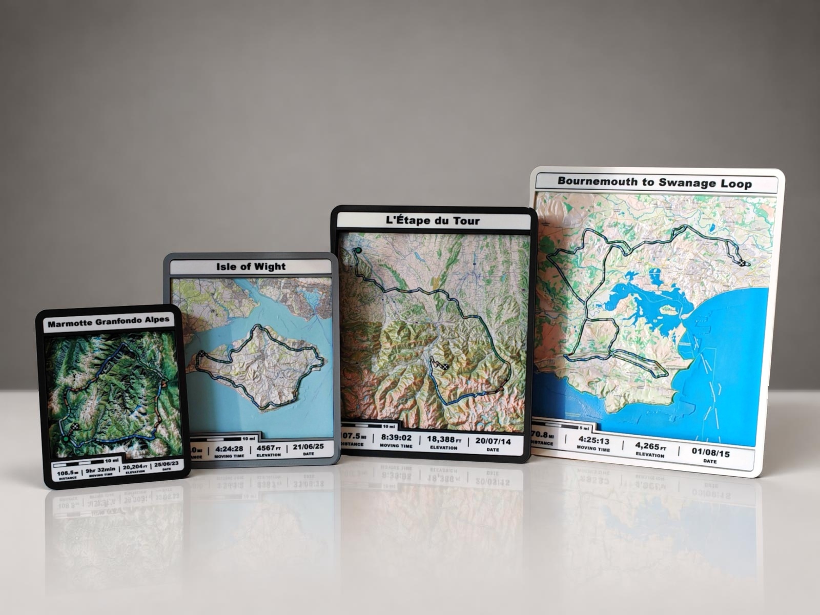
Map styles
Satellite or styled
We’ll send you a set of proof images of your route to choose from — full-colour satellite imagery or different map styles to suit your space — before printing.
Bespoke 3D printed route models
Full-colour terrain models built from real elevation data, with your GPX track raised on the surface and coloured by gradient. Each one made just for you.
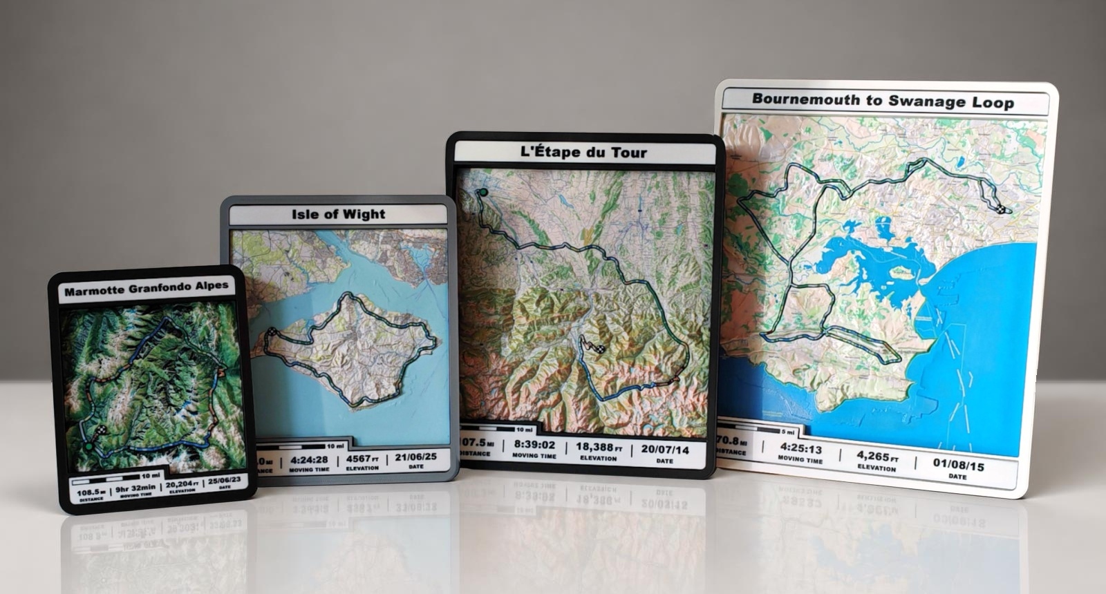
Real elevation data in true 3D. Very flat landscapes have enhanced relief; naturally undulating and mountainous terrain keeps a 1:1 height scale.
Full-colour satellite imagery or other map styles, chosen from proof images of your route.
Your recorded path as a slightly raised line, coloured by incline like a Garmin gradient.
Name your adventure. Route stats and a scale bar run along the bottom.
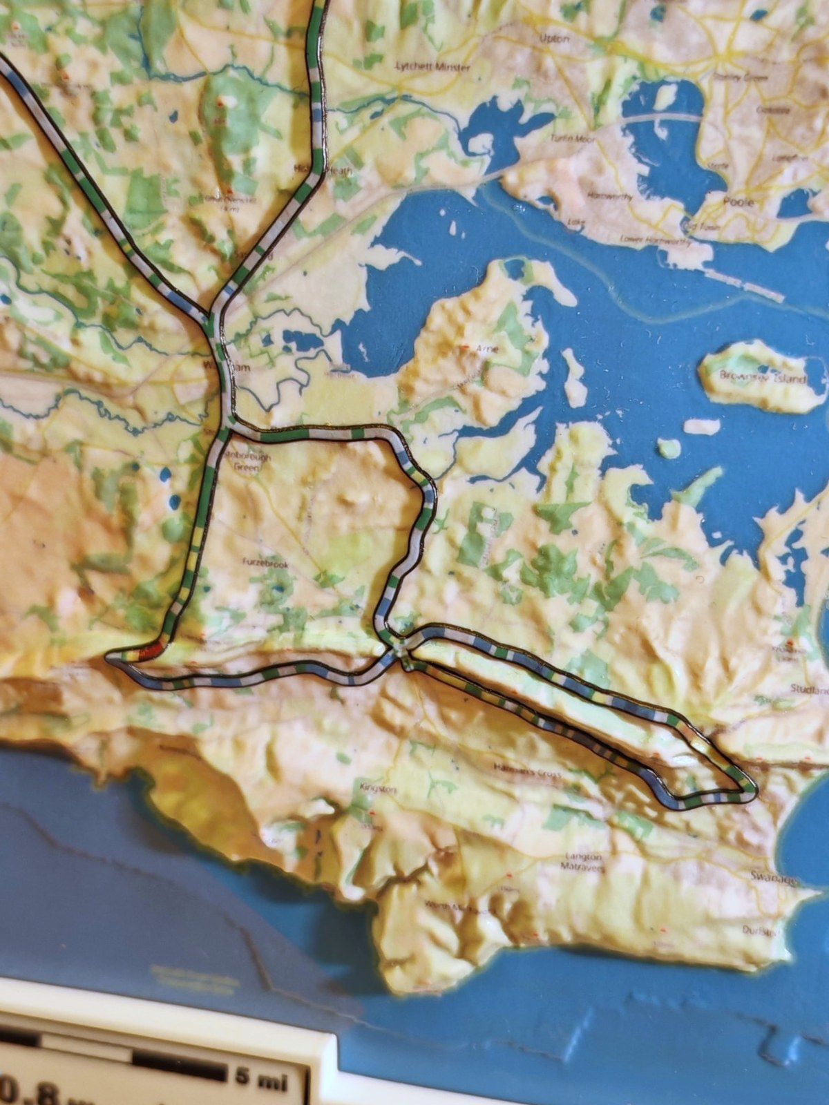
The path tells the story
Your GPS track sits as a slightly raised line across the terrain, split into solid blocks of colour — one colour for each gradient band. Three shades of blue on the way down, grey on the level, then green, yellow, orange, red and dark red as the climb steepens past 12%.
Incline key
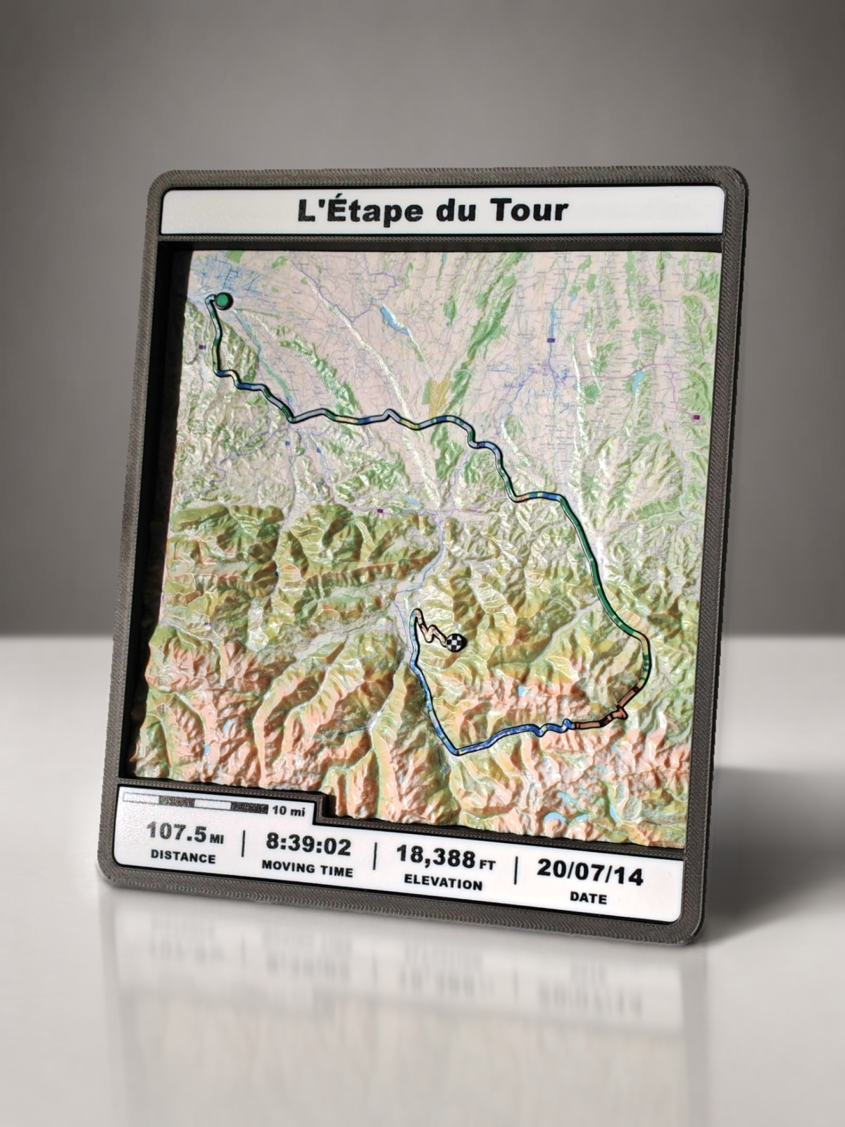
Truly three-dimensional
Walk past one and the mountains rise off the surface. This is L'Étape du Tour — 107.5 miles and 18,388 feet of climbing, captured in a frame.
For very flat landscapes, we exaggerate the terrain height to bring subtle features into focus. Naturally undulating and mountainous terrain retains a 1:1 vertical-to-horizontal scale, with no height exaggeration.
Anatomy of a model
No two models are the same. Each is designed around your route, your map style and your title.
Your route name, event or date — whatever makes it yours.
Real elevation data, printed with satellite imagery or a map style.
Your recorded line, lifted off the surface and coloured by incline.
Key numbers from your GPX file, printed along the base.
A map-style scale bar so you can read the distance at a glance.
Map styles
We’ll send you a set of proof images of your route to choose from — full-colour satellite imagery or different map styles to suit your space — before printing.
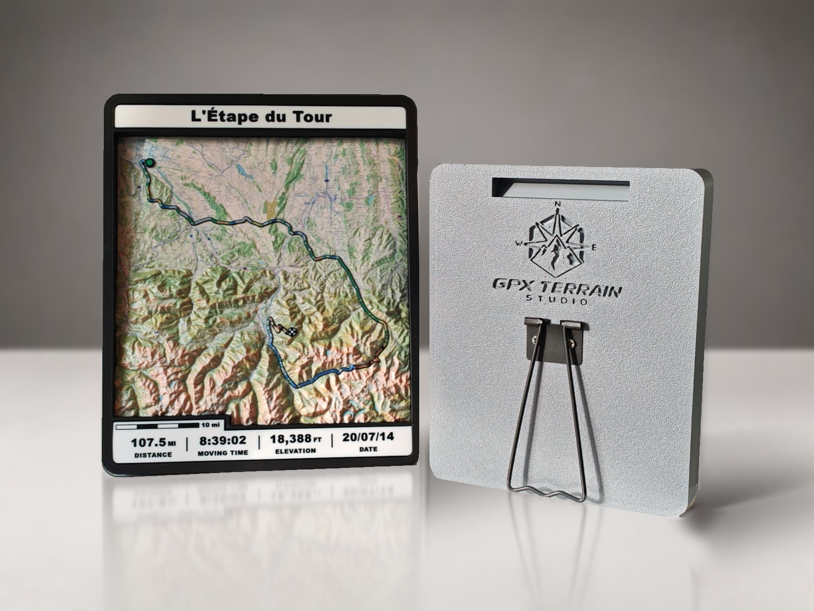
The frame
A stand on the rear lets it sit on a desk or shelf like a picture frame, and a recessed slot means it can hang flush on the wall.
Made to order
Every model is made to order. Start your order on Etsy, or follow along on Instagram to see the latest builds.
sales@gpxterrainstudio.com